
File:Topography of Luxembourg IMG 0943.JPG
Size of this preview: 640 × 480 pixels.
| |
This is a file from the Wikimedia Commons. Information from its description page there is shown below.
Commons is a freely licensed media file repository. You can help. |
Summary
| Description |
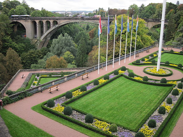
English: Topography of Luxembourg
Русский: Топография Люксембурга
|
| Date | 24 September 2010 |
| Source | Own work |
| Author | Владимир Шеляпин |
|
Camera location |
|
View this and other nearby images on: Google Maps - Google Earth - OpenStreetMap | ( Info) |
|---|
Licensing
|
|lang1=en|wiki1=wikipedia|article1=Luxembourg_(city) |lang2=ru|wiki2=wikipedia|article2=Люксембург_(город) |gallery1=Luxembourg City |ncats=1 }}
File usage
The following pages on Schools Wikipedia link to this image (list may be incomplete):
Metadata
About Schools Wikipedia
SOS Children's Villages aims to make Wikipedia suitable for young learners. SOS Children is famous for the love and shelter it brings to lone children, but we also support families in the areas around our Children's Villages, helping those who need us the most. Would you like to sponsor a child?